Sayyid Sultanate Territories, 1414–1451 CE
Introduction
The Sayyid political order began when Khizr Khan captured Delhi on 28 May 1414, after the weakening of Tughlaq authority and the upheaval that followed Timur’s sack of the city in 1398. The resulting sultanate was centred on Delhi but connected to a wider north-western zone that included Multan, Lahore, Dipalpur, and upper Sindh. This map therefore shows a political sphere shaped by conquest, provincial governorship, rebellion, and shifting allegiance rather than a uniformly administered empire.
The dynasty ruled for 37 years through four rulers: Khizr Khan, Mubarak Shah, Muhammad Shah, and Ala-ud-Din Alam Shah. Its political geography changed significantly during that period. Khizr Khan maintained a nominal relationship with the Timurids, Mubarak Shah asserted independent royal authority, Multan became independent under the Langahs during Muhammad Shah’s reign, and the final ruler surrendered Delhi to Bahlol Lodi in 1451.
Historical Context
Khizr Khan had served as governor of Multan under the Tughlaq dynasty. After Timur appointed him deputy of Multan following the 1398 sack of Delhi, his responsibilities were associated with Multan, Lahore, Dipalpur, and upper Sindh. During the civil conflicts among Delhi’s nobles, he defeated and killed Mallu Iqbal Khan in 1405 before taking Delhi nine years later.
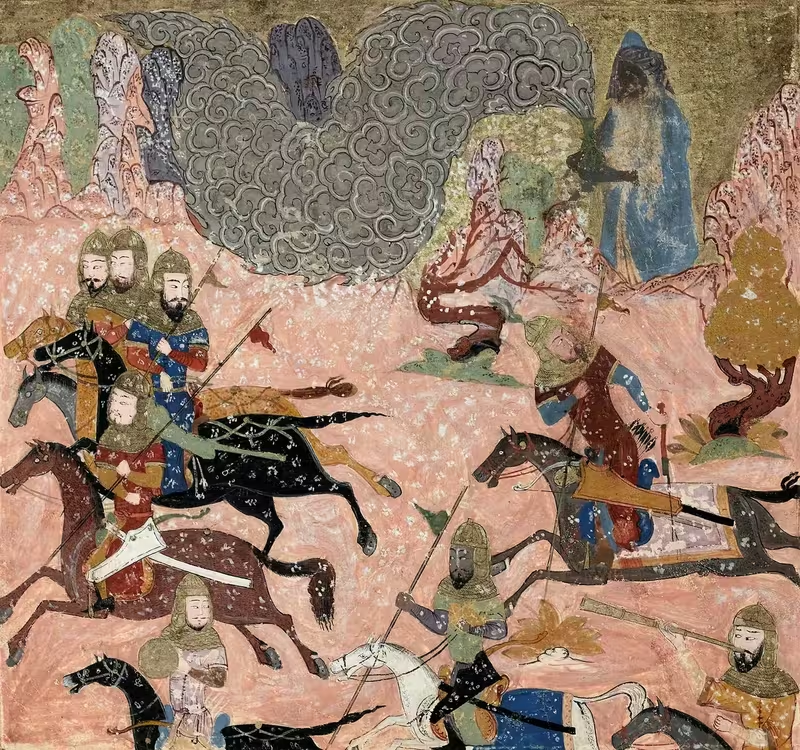
Khizr Khan continued to acknowledge Timurid suzerainty, first under Timur and later under Shah Rukh. The khutba named Shah Rukh, although Khizr Khan’s name was also attached to it. His successor, Mubarak Shah, ended this nominal allegiance and used the title of shah. He defeated the advancing Hoshang Shah Ghori of Malwa and suppressed the rebellion of Jasrat.
Muhammad Shah ruled from 1434 to 1443. His reign was marked by conspiracies and rebellions, and Multan became independent under the Langahs. Ala-ud-Din Alam Shah ruled from 1445 to 1451. His dependence on ministerial administration allowed Bahlol Lodi, appointed governor of Sirhind, to accumulate sufficient power to seize Delhi.
Territorial Extent and Boundaries
The most securely documented centres connected with Sayyid authority are Delhi, Multan, Lahore, Dipalpur, upper Sindh, Sirhind, and Badaun. These locations suggest a political zone extending from the north-western provinces toward the central Delhi region and into the upper Gangetic plain.
The surviving record does not establish fixed northern, southern, eastern, or western borders. Nor does it define a continuous frontier along a particular mountain range, river, or coastline. Multan, Lahore, Dipalpur, and upper Sindh belonged to the zone of Khizr Khan’s earlier authority, while Delhi became the dynasty’s principal seat after 1414. Multan’s independence under the Langahs demonstrates that the map’s political configuration was unstable rather than permanently consolidated.
Sirhind became especially significant during Alam Shah’s reign because Bahlol Lodi held its governorship before advancing on Delhi. Alam Shah’s departure for Badaun marks a final contraction of effective Sayyid rule.
Administrative Structure
Delhi functioned as the dynasty’s central political seat. The record identifies provincial authority at Multan, Lahore, Dipalpur, and Sirhind, but it does not provide a complete administrative list or a standardized provincial system for the whole sultanate.
The relationship between local and central authority varied. Khizr Khan’s authority in the north-west emerged through governorship and military power, while his position in Delhi initially retained the fiction of Timurid vassalage. Under Muhammad Shah, the viziers Sarwar ul-Mulk and Kamal ul-Mulk played major roles in government. Alam Shah delegated much of his responsibility to Hamid Khan, revealing the weakness of central administration near the dynasty’s end.
Infrastructure and Communications
No detailed road, postal, or communications network is recorded in the available historical account. The political links among Delhi, Multan, Lahore, Dipalpur, upper Sindh, Sirhind, and Badaun nevertheless indicate the importance of overland movement across the northern plains.
The record also provides no securely documented maritime system, major port network, or named commercial route for the Sayyid period. Accordingly, this map focuses on political geography rather than reconstructing trade infrastructure.
Economic Geography
The surviving account does not identify specific commodities, agricultural districts, markets, or ports under Sayyid control. It does, however, show the economic and political importance of provincial centres such as Multan and Lahore, whose control had strategic value in the north-west.
Tribute also formed part of interstate politics. Mubarak Shah defeated Hoshang Shah Ghori of Malwa and compelled him to pay heavy tribute. This episode indicates that the Sayyid state could project military power beyond its immediate Delhi heartland, even though its broader territorial control remained contested.
Cultural and Religious Geography
The dynasty’s name derived from the rulers’ claimed descent from Muhammad, although modern historians question this ancestry and some have proposed alternative backgrounds for Khizr Khan. The contemporary Tarikh-i-Mubarak Shahi associates the establishment of Malik Sulaiman’s Sayyid identity with the Sufi saint Syed Jalaluddin Bukhari.
Political and religious legitimacy were expressed through the khutba and coinage. Khizr Khan retained Timurid references in the khutba, while Mubarak Shah replaced the Timurid name with that of the caliph on his coins and used the title shah. No coins are known in Khizr Khan’s own name, and older Tughlaq currency continued in circulation.
Military Geography
Military power shaped the dynasty’s territorial map. Khizr Khan defeated Mallu Iqbal Khan in 1405 and subsequently captured Delhi. Mubarak Shah fought Hoshang Shah Ghori and suppressed Jasrat’s rebellion. These conflicts reveal the vulnerability of Delhi’s authority and the importance of controlling provincial and frontier zones.
The record names no complete army organization or network of fortresses. Sirhind, however, became a crucial military base under Bahlol Lodi, whose governorship enabled his eventual attack on Delhi.
Political Geography
The Sayyid state emerged from the disintegration of Tughlaq power and initially acknowledged the Timurids. Relations with Malwa were hostile during Mubarak Shah’s reign, while Multan became independent under the Langahs during Muhammad Shah’s rule. The final decisive relationship was with Bahlol Lodi, whose power grew from Sirhind and displaced the Sayyids in 1451.
Legacy and Decline
The Sayyid dynasty ended on 19 April 1451, when Ala-ud-Din Alam Shah voluntarily abdicated in favour of Bahlol Lodi and withdrew to Badaun. He died there in 1478. The dynasty’s brief rule illustrates the fragmented character of the late Delhi Sultanate: authority remained concentrated around Delhi, while provincial governors, regional rulers, rebels, and external claims of suzerainty continually reshaped the political map.